


Slider image by Mirra Goldenberg.
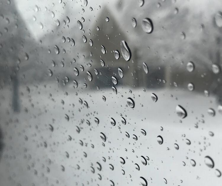
What’s the first idea that pops into your head when you think of winter? Snow would probably be the answer for most, although it has not been so common in the last few years for the Midwest. Fortunately (for some), this winter has brought a significant amount of snow to the Midwest and to Kansas City specifically compared to previous years. But why this year in particular?
“It is the weather pattern,” says meteorologist Jeff Penner. “A unique weather pattern sets up every Oct. and Nov. and then begins cycling through the winter, spring, and summer. This is what we call the LRC (Lezak’s Recurring Cycle).”
The Polar Vortex is also partially to blame for this blast of bitter cold and snow. It is known to be a large area of cold air high up in the atmosphere that usually spins over the North Pole. Sometimes, however, parts of the vortex can make their way down to North America, causing extreme temperatures. The location it hits is entirely dependent on where it originates. Although it sounds like the vortex is similar to a hurricane or a tornado, it is actually not visible like those common disasters; it just brings frigid weather to certain locations. Surprisingly, the global warming has little to no effect on the Polar Vortex. They are two completely separate entities.
The Polar Vortex may seem uncommon, but surprisingly it has occurred in the past. 2004 was the most recent occurrence prior to this year, and before that, the mid-’90s and the mid-’80s. We start to see this pattern around every decade where the cold air from the North Pole finds its way down to the U.S. The vortex is strongest in the winter and weakest in the summer, explaining its effect this season. As there is more and more buildup of snow and ice up in the North Pole where the vortex originates, it begins to migrate elsewhere.
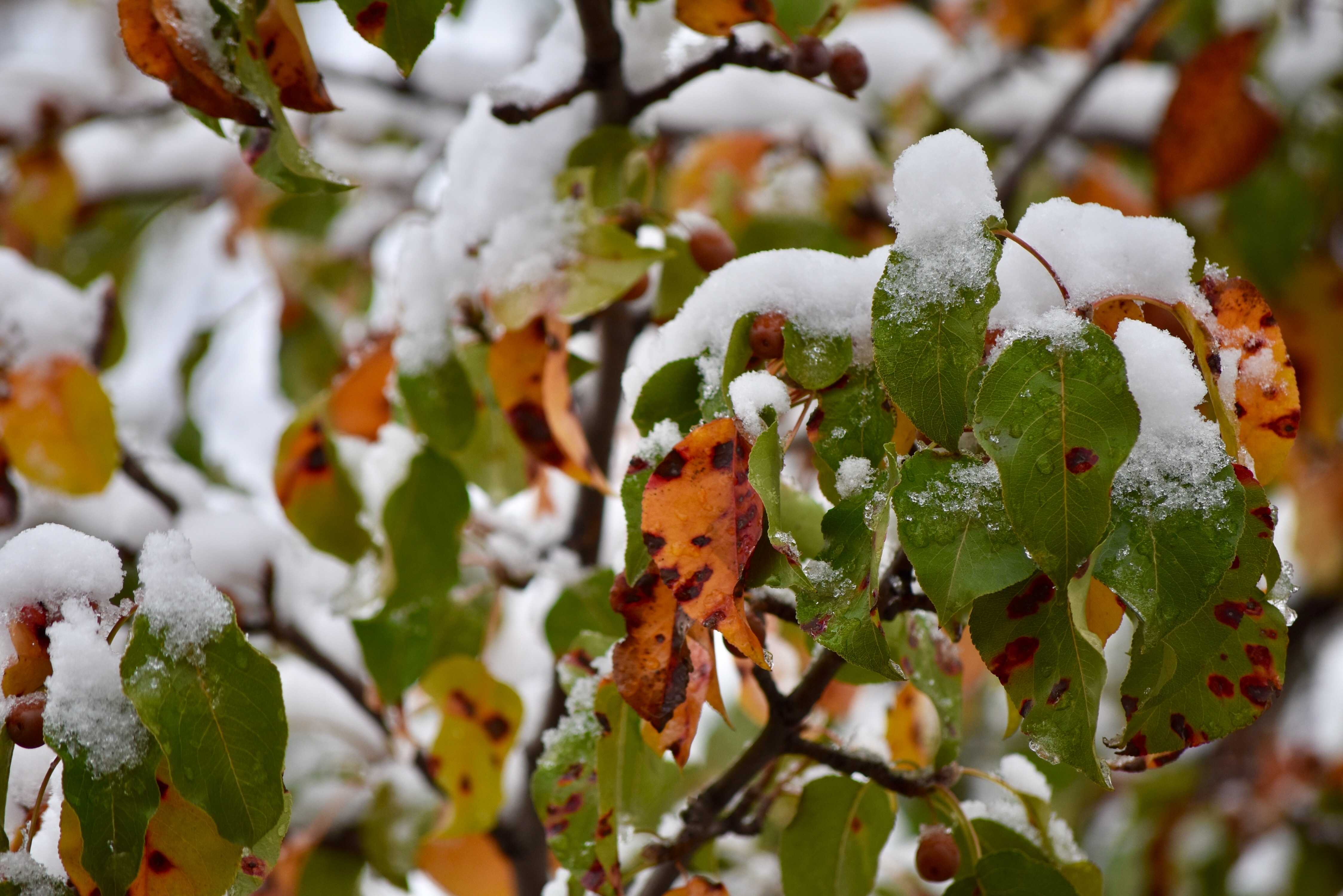
Along with the freezing temperatures, the polar vortex carries large bursts of snow. The Midwest has received record amounts of snow this winter, more than previous years combined. This white, powdery wonderland not only hinders schools from running, but also causes roads to be icy and dangerous.
According to Penner, there have been 17.3 inches of snow in Kansas City this winter. This is much more than the last three winters.” There were 7.7 inches in the winter of 2017-18, 4.9 inches in the winter of 2016-17, and 5.9 inches in the winter of 2015-16, whereas the seasonal average of snow is 18 inches, and the midwest has definitely exceeded that.
Penner states that on “Nov. 25, 2018 we received 5.8 inches of snow, officially,” which was “the first time we received a snowfall of 3 inches or more since Feb. 4, 2014. A streak of 1755 days.”
As years pass and the weather changes, you never know what the next season will bring. Will it be insanely cold temperatures or hot? Or, for the Midwest especially, will there continue to be snow? Penner predicts 25 inches to 30 inches for this winter, but what will future seasons bring?